Site Location: West Oxfordshire
Related Achive: Manning and Harden
There are two Grim's Ditches in Oxfordshire, one in the north of the county and the other between Wallingford and Henley.
Parts of the northern ditch can still be seen in various places and parishes - Blenheim Palace grounds, Woodstock, Ditchley Park, Kiddington and Wootton are just some.
There have been several excavations. In 1935 Harden excavated the Roman Villa at Ditchley, and sections were cut across the Grim's Ditch in two places, Kiddington and Spelsbury. The interpretation dated the feature to the middle of the 1st century AD. In 1936 an excavation took place in Blenhaim Park, where the ditch crosses Akeman Street.
In 1950 the Oxford University Archaeological Society carried out an investigation around the Roman Villa at Callow Hill, near Woodstock, to determine the relationship between the group of villas in the area surrounded by dykes and Grim's Ditch. The conclusion was that 2 of these dykes were contemporary with Grim's Ditch. Finds were dated to the Iron Age.
Another excavation took place in 1972 by the Oxford Archaeology Unit during trenching operations for a gas pipe line from Charlbury to Sturdy's Castle (the first part of the Charlbury to Arncott Pipeline), cutting through part of the ditch near Wootton (by Woodstock). Nothing was found, but the Unit reported the ditch had probably been recut once.
In 1976 the North Leigh portion of the ditch was excavated, again, no precise dating evidence. The conclusion is that the ditch, a linear earthwork enclosing an area of 22 square miles, dates to the Iron Age and may not have been a continuous dyke, the gaps being filled by something else, probably dense woodland.
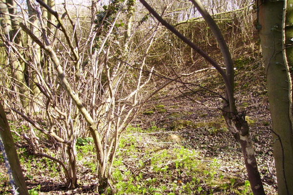
The section of ditch in Hill Wood is very well defined and preserved, but the section photographed near Wootton shows a shallow earthwork covered in scrub right next to the bank of the quarry, very hard to define. Another section nearby marked on the ordnance survey map shows barely a trace on the ground (see aerial photograph).
References:
Plot, p328
Victoria County History of Oxfordshire, Vol II, p336
Antiquity , Vol IV(1930), p303
Oxoniensia, II (1937), p74
Oxoniensia, XXII (1957), p11
Oxoniensia, XLI (1976), p12
Oxoniensia, XLIII (1978), p43
Council for British Archaeology, Gp 9, NL 13 (1983), p12
|
Site Photographs |
Click on picture to see a larger image |
|
|
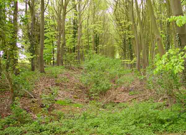
Grim's Ditch behind Model Farm, Ditchley
(April 2006) |
|
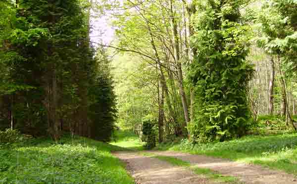
Grim's Ditch in Hill Wood, gap north
(April 2006) |
|
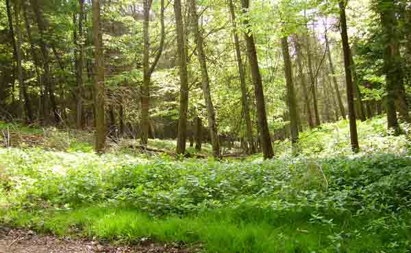
Grim's Ditch in Hill Wood, gap south
(April 2006) |
|
Grim's Ditch looking east
(April 2006) |
|
Grim's Ditch next to the quarry, near the A44 - not so well preserved as in Hill Wood
(April 2006) |
Aerial Photographs |
|
Grim's Ditch at Callow Hill taken by Major Allen on 10 February 1935
(Ref Album 9,3) |
|