Site Location: North West Oxfordshire
Related Achive: Manning
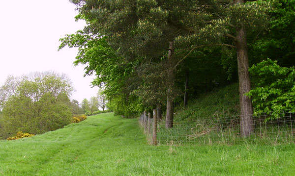
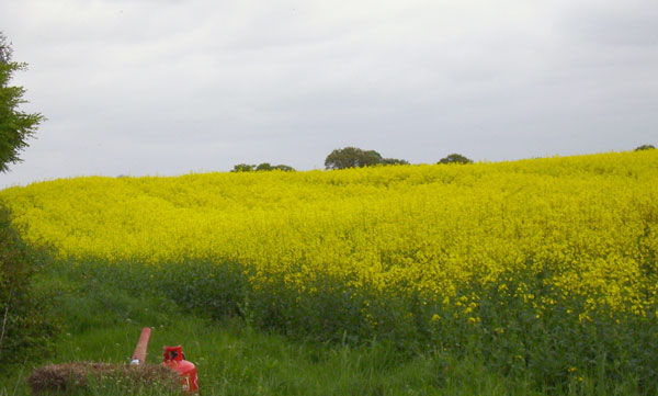
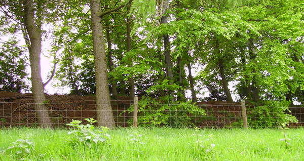
West of the villages of North Newington and Wroxton and about three quarters of a mile north east of Banbury is an almost square, single-banked earthwork called Castle Bank, enclosing about 5 acres. The corners, not the sides, are pointed north, south, east and west. The original entrance was probably in the middle of the north-east to south-west side; this is the most prominent bank, now covered in small trees (the nearest side to the water supply). The public footpath runs alongside this bank. The other banks can just be seen as rises in the crop of rape (May 2006), these three sides are in fields continually ploughed. The camp overlooks a deep ravine, with Padsdon Stream running through the valley. Madmarston Camp, Swalecliffe can be seen in the distance to the south west (top right corner in the photograph).The date of the encampment is not known excactly, it was once thought to be Roman, but there have been no dateable finds.
References:
Beesley, History of Banbury
Victoria County History of Oxfordshire, Vol II, p318
Sutton, Oxoniensia, Vol XXXI (1966), p 37 |
Site Photographs |
Click on picture to see a larger image |
|
|
Castle Bank, view north-east |
|
looking east |
|
looking south-west; you can see Madmarston Camp in the top right corner |
|
bank from footpath, looking south-east |
|