Site Location: North-West Oxfordshire
Related Achive: Manning
Percy Manning recorded two main sites at Lyneham: the Camp and long barrow.
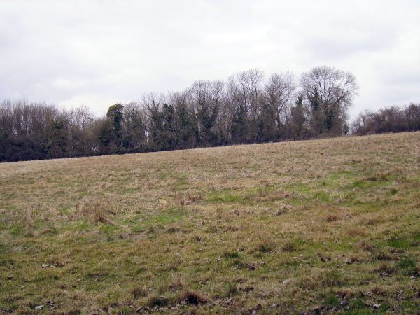
Lyneham camp is four miles from Chipping Norton, located 650 feet above sea level on a ridge commanding a fine view all round except to the north. It is roughly circular covering about four and a half acres. A single rampart surrounds the camp and is about five feet high in some places. There is a gap in the ramparts to the north - a possible original entrance. The camp was surrounded by a ditch, but this is barely visible now. A quarry has been cut into the south end.
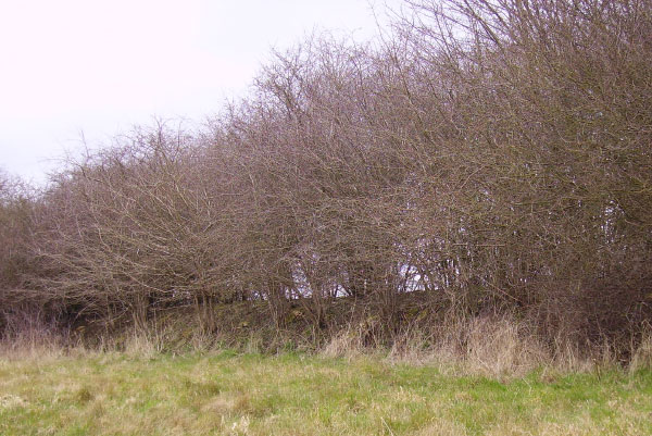
Excavations were carried out by the Oxford University Archaeological Society in June 1956. Iron Age pot sherds and a bone needle were amongst the small number of finds. The camp is known locally as Lyneham 'Roundabout' and is a scheduled ancient monument. In the nineteen century skeletons were discovered in the south side of the hillfort (the quarry site). Nearby stands the Lyneham Longbarrow.
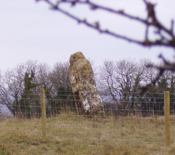
At Lyneham long-barrow a six foot high standing stone is all that remains to signify the position of the long barrow. This standing stone lies to the north-west and is now separated from the barrow, but was almost certainly an orthostatic component.
The barrow was excavated in 1894 and two chambers were found on the south-east side; one containing bone, pottery and charcoal. Two Anglo-Saxon graves, a sword and iron currency bar have also been recorded.
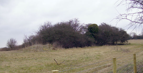
What remains of the barrow mound is now covered in scrub and has been ploughed right up to its edges. Recent field inspections measured the mound's length as 32m, height about 1.75m at the north-east end, with no trace of a surrounding ditch.
References:
For the Camp:
Bayne, Oxoniensia XXII (1957)
Sutton, Oxoniensia XXXI (1966)
W. Page (1906) Victoria County History of Oxfordshire, Vol II, p315
For the Long Barrow:
Crawford, Long Barrows of the Cotswolds (1925), p163-4
Proc. Soc. Antiq. (2nd series) Vol XV (1893-5), p404
Antiq. Journal (1925), p165
L. F. Salzman (1939) Victoria History of Oxfordshire, Vol I, p265
|