Site Location: West Oxfordshire
Related Achive: Manning
Percy Manning recorded a rectangular earthwork, referred to as 'Low Barrow', just south of Low Barrow House at Fordwells, near Leafield. A ditch was plainly visible in the cornfields, with the slight mounds of a bank.
Major G.W.G Allen took an aerial photograph of this feature in 1933, when it was still clearly visible. (Note Major Allen refers to the house as 'Loughborough House' on his aerial photographs)
Local tradition stated that this earthwork was the site of a Roman villa. Roman coins and an brooch were found on the site, but it is unclear whether this was a villa site.
An iron spearhead was also found at Fordwell's in 1880 during the digging of a well. Manning recorded this spearhead as being at Bristol Museum.
References:
Victoria County History of Oxfordshire, Vol II, p348
O.S. map (old)
Aerial Photographs
Click on picture to see a larger image
Photograph of Rectangular Earthwork at Fordwells taken 10 June 1933 (Ref Album 5,53)
Site Photographs
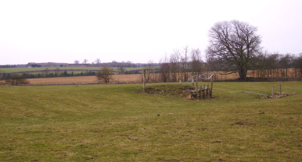
'Low Barrow' at Fordwells taken looking towards the north-west (March 2006) - some stone-work and the ditch are just visible on the ground.