Site Location: West Oxfordshire
Related Achive: Manning
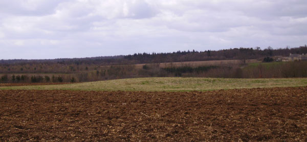
Half a mile south of Glympton on the west side of the road to Wootton (by Woodstock) is a low flat mound (175 feet in circumference and 3 feet high in 1907). A site visit in 1983 found the barrow much reduced to 90 feet diameter. The barrow is ploughed right up to its edges. Nothing is known of the name 'Copping Knoll'.
References:
Victoria County History of Oxfordshire, Vol II, p347
Council for British Archaeology, Group 9 Newsletter, 1984, p 52