Site Location: Mid Oxfordshire
Related Achive: Manning
Bladon 'Round Castle' is an oval enclosure, tentatively dated to the Iron Age by a small sample of Iron Age pottery found on the site. Called a hill fort, or 'round castle' locally, it is just south of Blenheim Park, Woodstock and the wooded hill on which is stands can be seen in the distance from the A44 opposite the turn for Campsfield.
The feature is a double-ditched enclosure about 350 feet by 500 feet, area approximately two and a half acres, the whole area is covered in shrub, and trees, some of which are very large. The interior of the enclosure has been planted with young trees. The outer and inner ditches are still visible, very defined in some places, not so in others. No definite entrance position now is visible.
The hill fort is on private land and is scheduled. Photographs were taken with the kind permission of Blenheim Estate.
References:
Victoria County History of Oxfordshire, Vol II, p310
Archaeologia, LXXI, p236
Sutton, Oxoniensia, XXXI (1966), p 38 |
Site Photographs |
Click on picture to see a larger image |
|
|
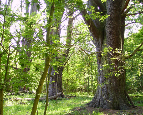
Bladon 'Round Castle' - large trees on the bank
between the two ditches
(June 2006) |
|
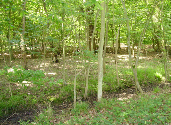
The two ditches around Bladon Castle
(June 2006) |
|
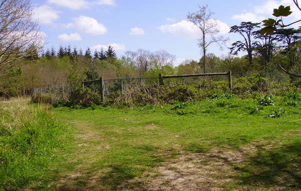
The Interior of Bladon Castle
(June 2006) |
|