Oxfordshire's Historic Archives

Historic Oxfordshire

Preserving and Enhancing Access to Historic Oxfordshire
Records of Archaeological Work held by the Ashmolean Museum

Site Name: Leafield

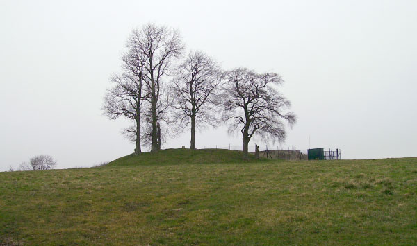
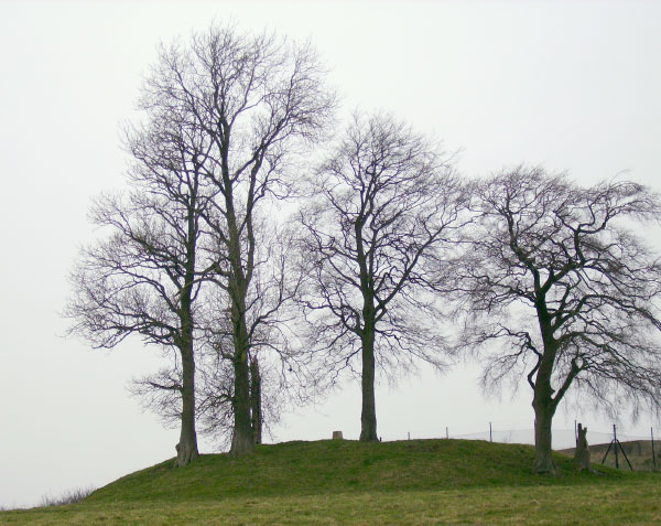
Site Location: North-West Oxfordshire
Related Achive: Manning


Leafield Barrow was also recorded by Percy Manning. Locally it is known as 'Barry's Hill Tump' or 'Barry's Tump'. It stands on a hill to the north of the village, on one of the highest points in Oxfordshire - 650 feet above sea level.

It has been classified at various times as the motte of a motte and bailey castle, or an Anglo-Saxon barrow. It has a trig point on the top and a water reservoir on the east side. There is no evidence of a ditch and it was perhaps opened in antiquity.


References:

Antiquities Journal, Vol XXXVII, p433

A. Mudd, 1983 Field Visit

W. Page (1906) Victoria County History of Oxfordshire, Vol II, p346

South Midlands Archaeology 14, 1907, p54

Site Photographs

Click on picture to see a larger image
Leafield Barrow
Leafield Barrow looking toward the north (March 2006)
Leafield Barrow
Closer view of Leafield Barrow looking toward the north (March 2006)
© Copyright University of Oxford, Ashmolean Museum, 2006. Last updated: June-2006
Ashmolean Museum icon: Go to Museum's Home Page
 
HLF icon: Go to HLF Home Page
 
OCC icon: Go to OCC Home Page