Site Location: North Oxfordshire
Related Achive: Manning and Jope
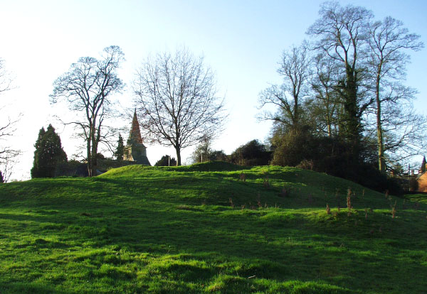
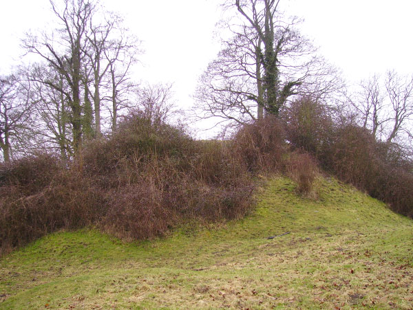
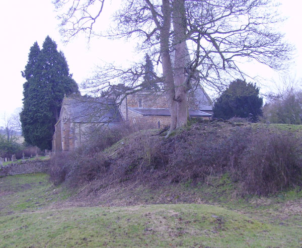
E.M. Jope excavated Swerford Castle during the 1950s. The motte and bailey of the castle at Swerford stands on a hill above the River Swere and next to the parish Church. A deep ditch separates the church from the castle.
The remains consist of a circular court, 150 feet in diameter, surrounded by a ditch of 6 feet. On the north side is another mound, diameter 50 feet, and to the east are two detached raised platforms beyond which the ground falls away rapidly towards the road (the road is to the south).
In the 1970s the churchyard was extended to the north, into the castle grounds, and a few medieval pottery sherds were found. Swerford Park is to the west of the castle site.
The only reference to Swerford in Manning archive is Plot's record of Roman coins found in the Park.
References:
W. Page (1907) Victoria History of Oxfordshire, Vol II, p 326
R. Plot (1705) Natural History of Oxfordshire, p341
L. F. Salzman (1939) Victoria History of Oxfordshire, Vol I, p 343
|
Site Photographs |
Click on picture to see a larger image |
|
|
Swerford Castle looking towards the south-west (January 2006) |
|
Swerford Castle motte and bailey looking towards the north (March 2006)
See a closer view |
|
Swerford Castle inner ditch looking towards the west (March 2006) |
|
Swerford Castle and Church looking towards the south (March 2006)
View the church |
|