Site Location: North-West Oxfordshire
Related Achive: Manning
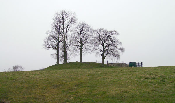
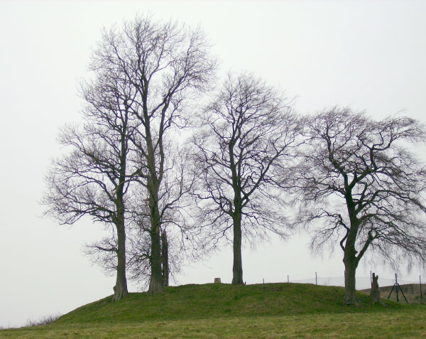
Leafield Barrow was also recorded by Percy Manning. Locally it is known as 'Barry's Hill Tump' or 'Barry's Tump'. It stands on a hill to the north of the village, on one of the highest points in Oxfordshire - 650 feet above sea level.
It has been classified at various times as the motte of a motte and bailey castle, or an Anglo-Saxon barrow. It has a trig point on the top and a water reservoir on the east side. There is no evidence of a ditch and it was perhaps opened in antiquity.
References:
Antiquities Journal, Vol XXXVII, p433
A. Mudd, 1983 Field Visit
W. Page (1906) Victoria County History of Oxfordshire, Vol II, p346
South Midlands Archaeology 14, 1907, p54
|
Site Photographs |
Click on picture to see a larger image |
|
| |
Leafield Barrow looking toward the north (March 2006) |
|
Closer view of Leafield Barrow looking toward the north (March 2006) |
|