Site Location: Mid Oxfordshire
Related Achive: Manning
The parts of Aves Ditch that can be seen today, run from Northbrook, to the west of Middleton Stoney Park, up through the Heath towards the Lees Farm by Upper Heyford runways. It once ran from near Tackley to Fritwell.
The Ditch has been classified at various times as a Roman road or a Saxon boundary. It is now seen as a connection of three local Roman roads and a droveway. The portion near Upper Heyford, has of course, been obliterated by the buildings and runways of the camp.
Aves Ditch is sited very close to the Roman Akeman Street, and another Roman road which probably ran north/ south, on the line of Somerton, Kirtlington, Bletchingdon. A mile north of Kirtlington, the track joins the Portway. Roman sites have been identified over the years, along the line of this north/south Roman road, for example, at Somerton, Blackingrove Farm, near Deddington, Souldern and near Hopcrofts Holt.
References:
Victoria County History of Oxfordshire, Vol II, p342
Council for British Archaeology, Group 9 Newletter, 1974, p10 |
Site Photographs |
Click on picture to see a larger image |
|
|
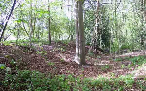
Aves Ditch, looking north
(June 2006) |
|
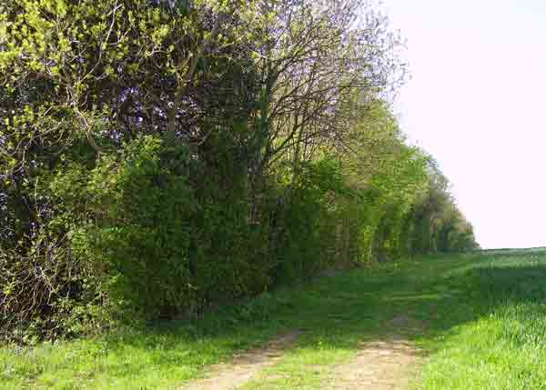
The line of Aves Ditch, looking south west
(June 2006) |
|